Peper Harow Godalming Surrey England GU8 6B#
Home Intro Maps History Mansion Houses Church Farm Follies Horticulture RiverWey Footpath Oxenford Sports Developments Links

Map of 1997.

Maps :


Arial Views 2004

Arial Views 1999

Area Map 1995 North

Area Map 1995 South

Sewage Drain System

Old Map 1947 West

Old Map 1947 East


Church Tower View South. Church Tower View South West. Church Tower View West. Church Tower View North West.

Church Tower View North. Church Tower View North East. Church Tower View East. Church Tower View South East.


Arial views taken in the Autumn 2004

Arial View, looking North East. Arial View, looking East.

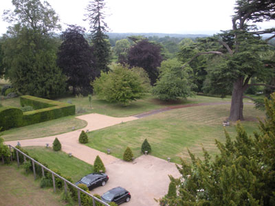
The Peper Harow Estate from the west in late evening. View of Park Avenue, and Old Cedars.

Arial View, looking North West. Arial View, looking South East.

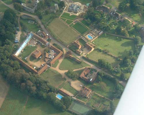
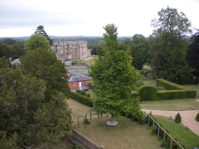
View of The Carriage House, Dairy Cottage and Old Cedars.

Arial View, looking North East .

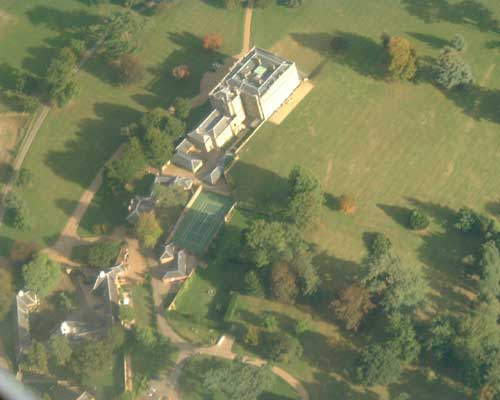
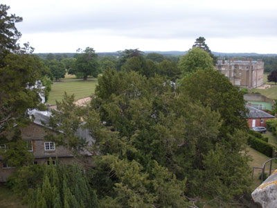
Peper Harow House from the West.


goto to Top

Arial views taken in the summer of 1999

Arial View of West of Peper Harow Estate. Arial View of East of Peper Harow Estate.

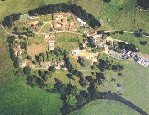
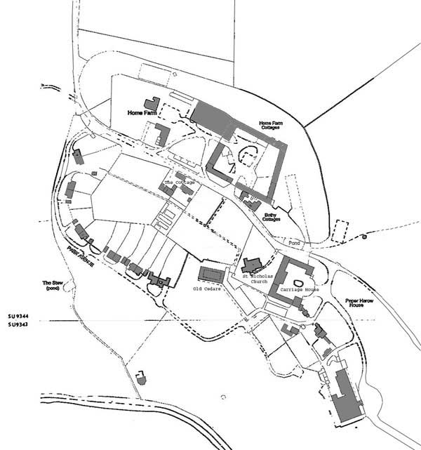
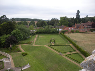
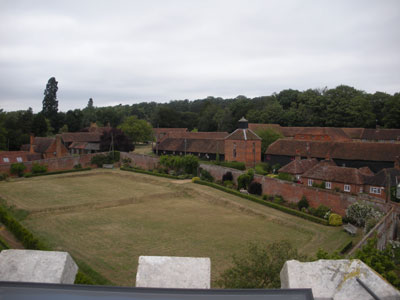
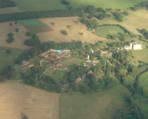
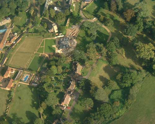
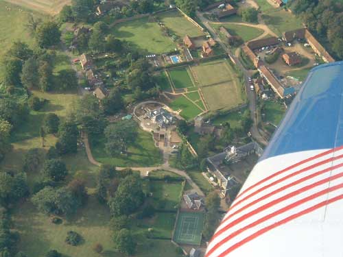
The core of the Peper Harow Estate:
Farm Buildings
Park Avenue
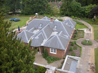
Old Cedars, under construction.
Church
Carriage House
Laundry Cottage
Peper Harow House
The River Wey at the bottom.
and the Aeroplane wing blocking some parts of the picture !.


goto to Top

Sewage and Rain Water Drainage system

Map of Drainage system.
Map of drain routes, the bigger the blob the bigger or deeper the manhole.

Red lines are foul sewage water which go to the Sewage Treatment Plant off the bottom of the map, where it is processed:
1: Flow devided between two tanks.
2: Floating items seperated.
3: Sinking items, settlement tanks (2)
4: Rotating water driven filter beds (2)
5: Second stage settlement tank (1)
6: Surface skimmed
7: Discharged to river Wey.

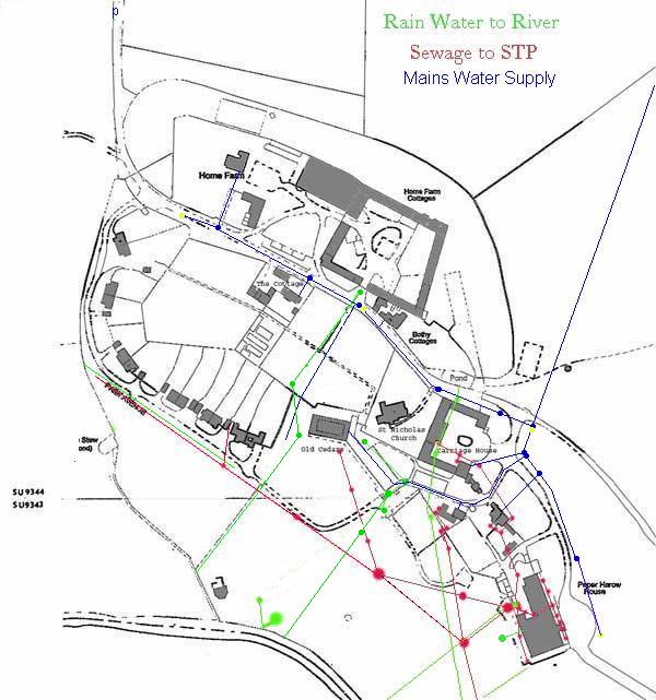
Green lines are surface rain water, land drainage water, and spring water, and are discharged to the river Wey.
Some of these are modern drains, but the one from the duck pond is a brick built arched culvert about 18inches high and wide and heads of in the direction of the Bath House, whether it gets there is doutfull, it was probably damaged when the deep main drains were dug in the 1950's.

Where lines cross without a blob, the drains do not meet because the are at different depths, and/or are different sources/destinations.


goto to Top
Map from some old deeds - Northern half of estate. LOAD 1995 Map North
Map from some old deeds - Southern half of estate. LOAD 1995 Map South

Map from some old deeds - Northern half of estate. LOAD Old Map 1947 West
Map from some old deeds - Southern half of estate. LOAD Old Map 1947 East